Chase Target:
None
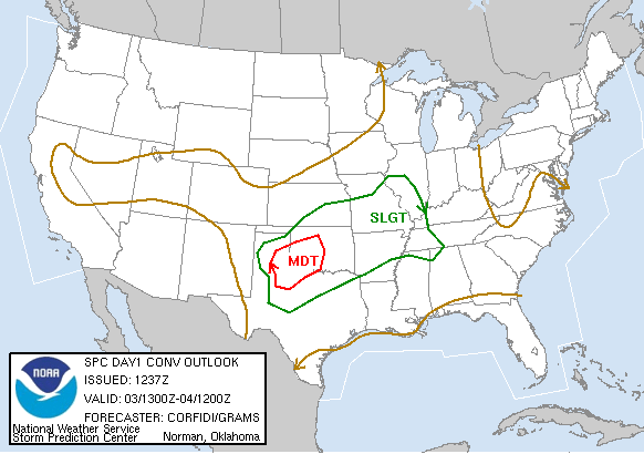
SPC Convective Outlook
At 7:37 AM CDT On
May 03, 2006
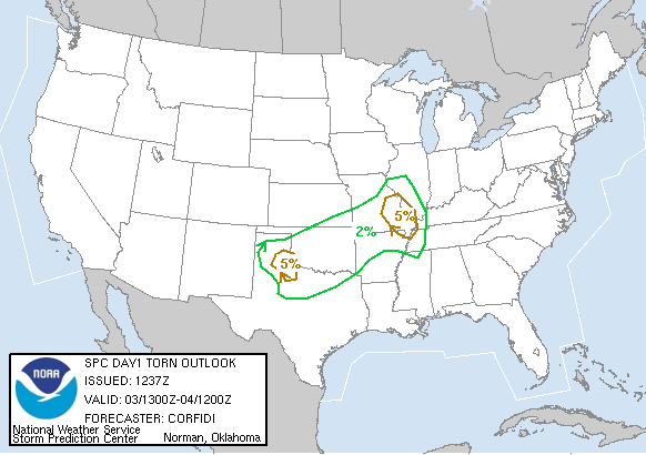
SPC Tornado Outlook
At 7:37 AM CDT On
May 03, 2006
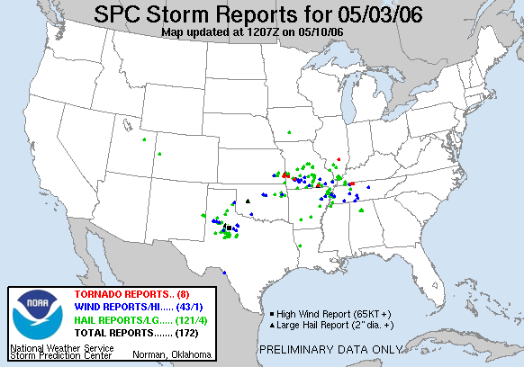
SPC Storm Reports For May 03, 2006
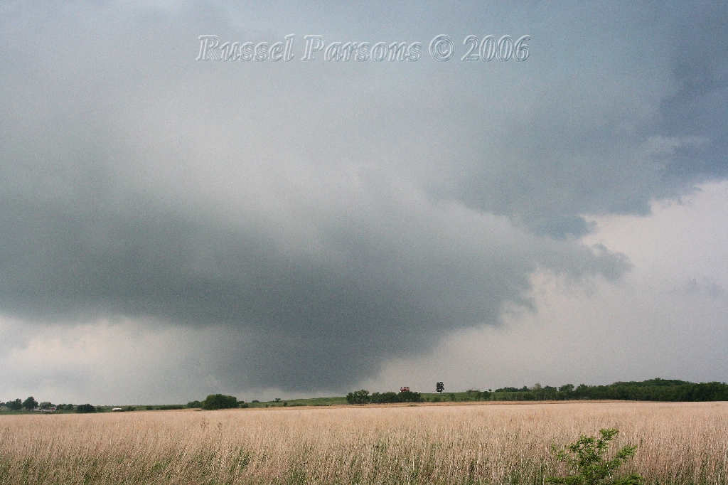
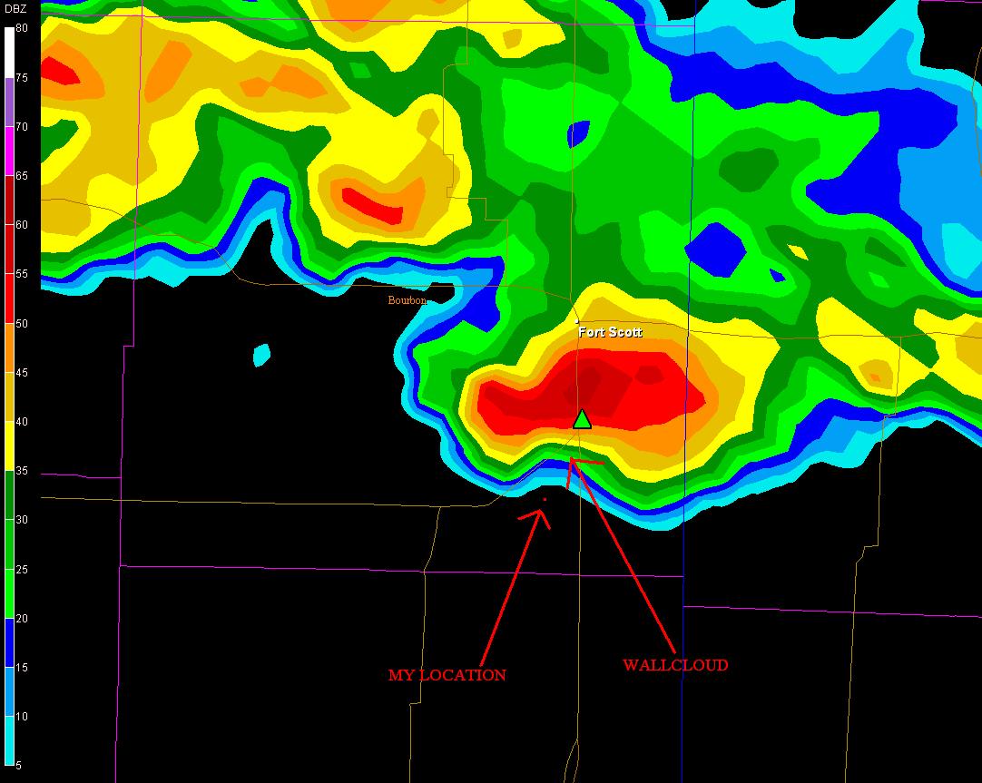
Wall Cloud In Southern Bourbon County, Kansas
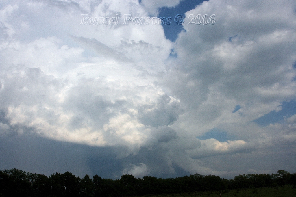
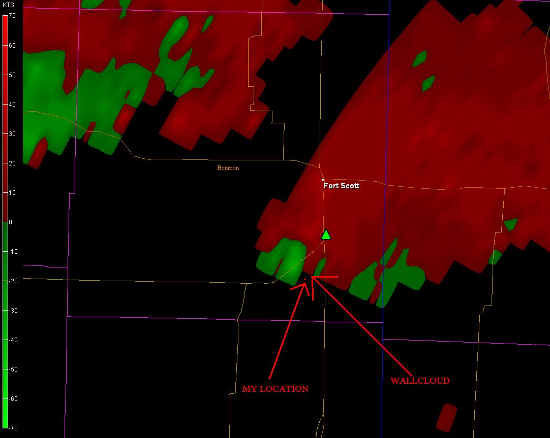
Supercell Thunderstorm Located In Southern Vernon County, Missouri
No Articles Found At This Time
No National Weather Service Damage Assessment Was Found For May 03, 2006
Storm Chaser's Accounts From The Storm Track Forums Can Be Found Here
Springfield NWS Nexrad Radar 3:40 P.M.
Base Reflectivity Image (Click To Enlarge)
Springfield NWS Nexrad Radar 3:40 P.M.
Velocity Image (Click To Enlarge)
To View The Entire Photo Album Of This Event, Please Click Here
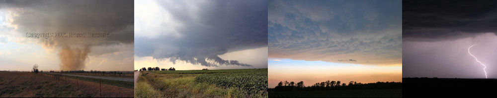
PHOTO GALLERY
NEXRAD WEATHER RADAR IMAGES
STORM PREDICTION CENTER CONVECTIVE OUTLOOK FOR THIS DAY
STORM REPORTS FOR THIS EVENT
NEWSPAPER ARTICLES AND OTHER STORM CHASER ACCOUNTS
Newspaper Articles For May 03, 2006
Other Storm Chaser Accounts For May 03, 2006
Storm Intercept Summary
This event started with me sitting at home, and watching the weather radar computer. It paid off when a supercell thunderstorm formed East of Chanute, Kansas. I quickly loaded up my chase gear and headed for Southern Bourbon County, Kansas. The supercell was slowly moving east, and I intercepted the storm in extreme Southeastern Bourbon County near Birch Road and 200th Street. I was able to get a few photographs of the rain free base and associated wall cloud. The wall cloud was approximately two miles from my location, and I could not see any lower level rotation within this area of the storm.
I followed this supercell storm as it crossed the Kansas/Missouri State line. The lack of decent roads in Southern Vernon County, Missouri, made the remaining chase very difficult. I ended up near Moundville, Missouri, where I finally had to give up this storm chase. I did get some really good photographs of the supercell's anvil top as it moved off to the east. I did not see any tornadoes with this supercell from my vantage point, but I believe that a tornado had been reported on the ground south of Fort Scott, Kansas.
Tornado Warned Supercell
May 03, 2006
Tornadoes:
Funnel Clouds:
Wall Clouds:
Hail:
Flooding:
No
No
02
00
00